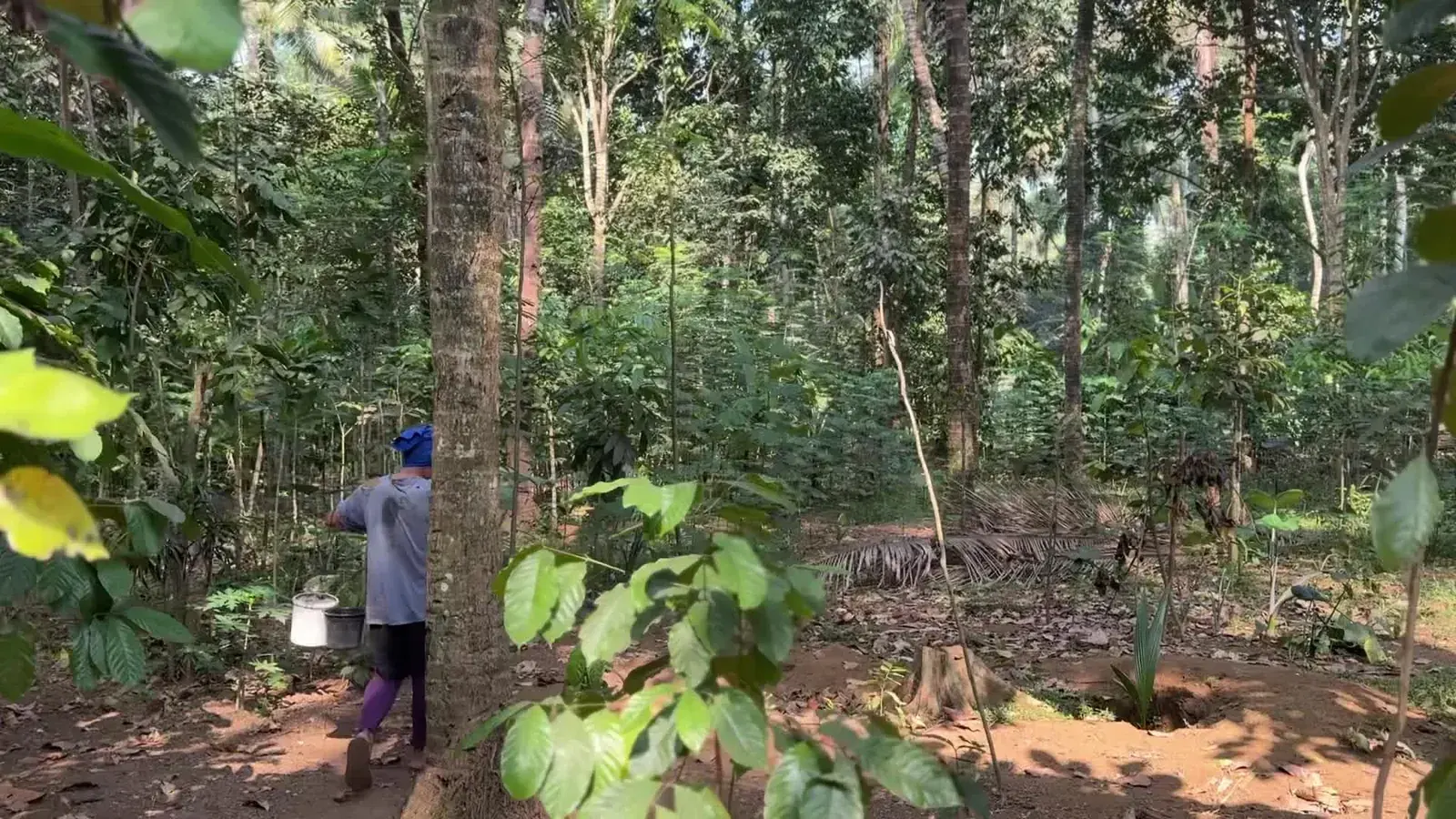
Restoring critical, dry, post-mining and disaster-affected land through site diagnosis, tackling the causes of damage, suitable vegetation and long-term management.
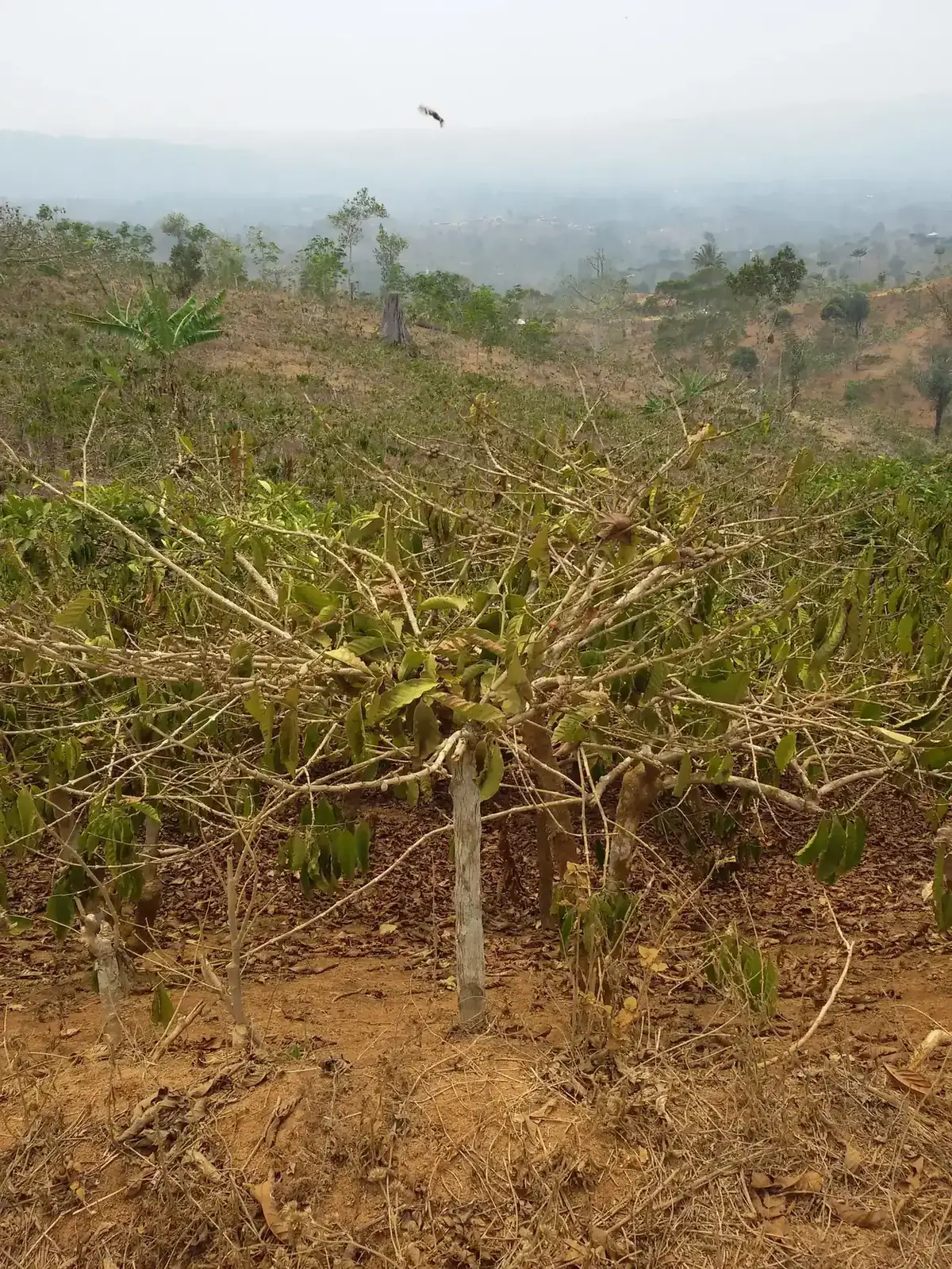
Illustrative photo Dry sloping land in need of restoration.
Local need
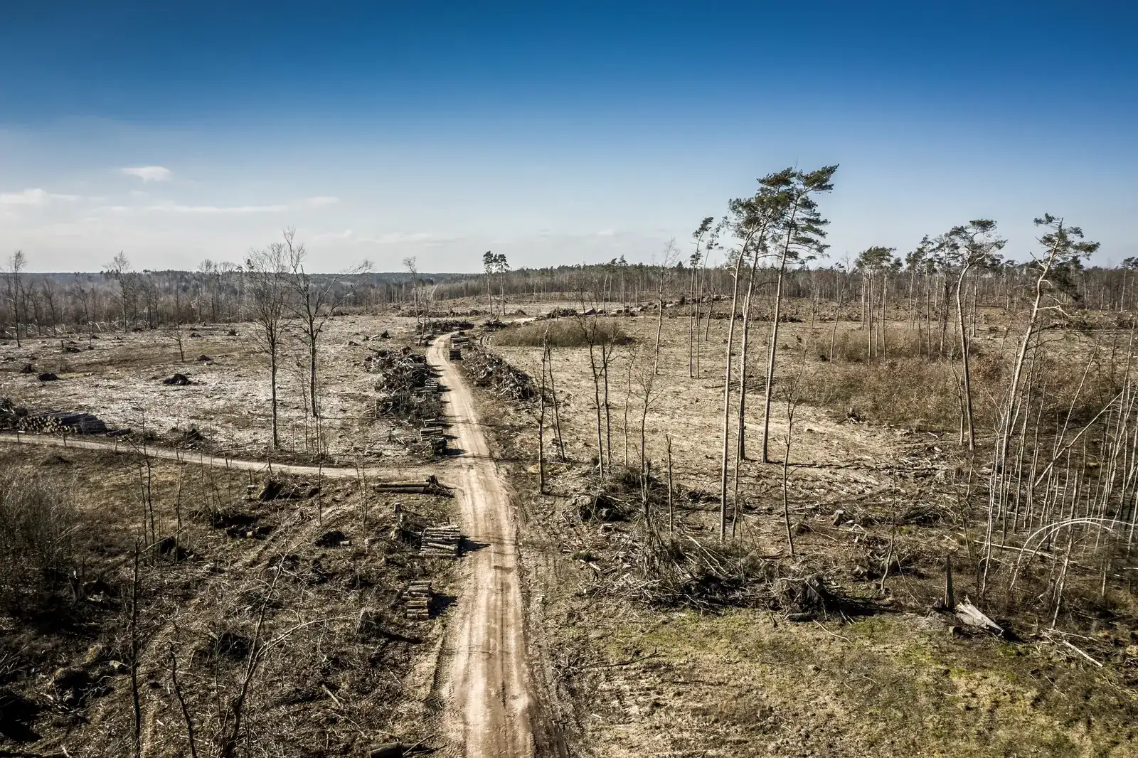
Damaged land does not recover with a single recipe. Eroded slopes, dry land, former mines and disaster-hit areas each need their own diagnosis. Planting without stopping the cause of damage, without secure rights or without anyone to care for the seedlings usually ends with dead trees.
Aim
Restore soil, water and biodiversity functions, then deliver safe benefits for local people at an affordable maintenance cost.
Who takes part
Land managers and neighbouring communities, with access, work and benefits agreed from the start.
Activities
Site screening: tenure, hazards, reference ecosystem and land-use history.
Soil and landform work: ground cover, erosion control and organic matter.
Water management: rain harvesting, safe infiltration, storage and solar pumping where feasible.
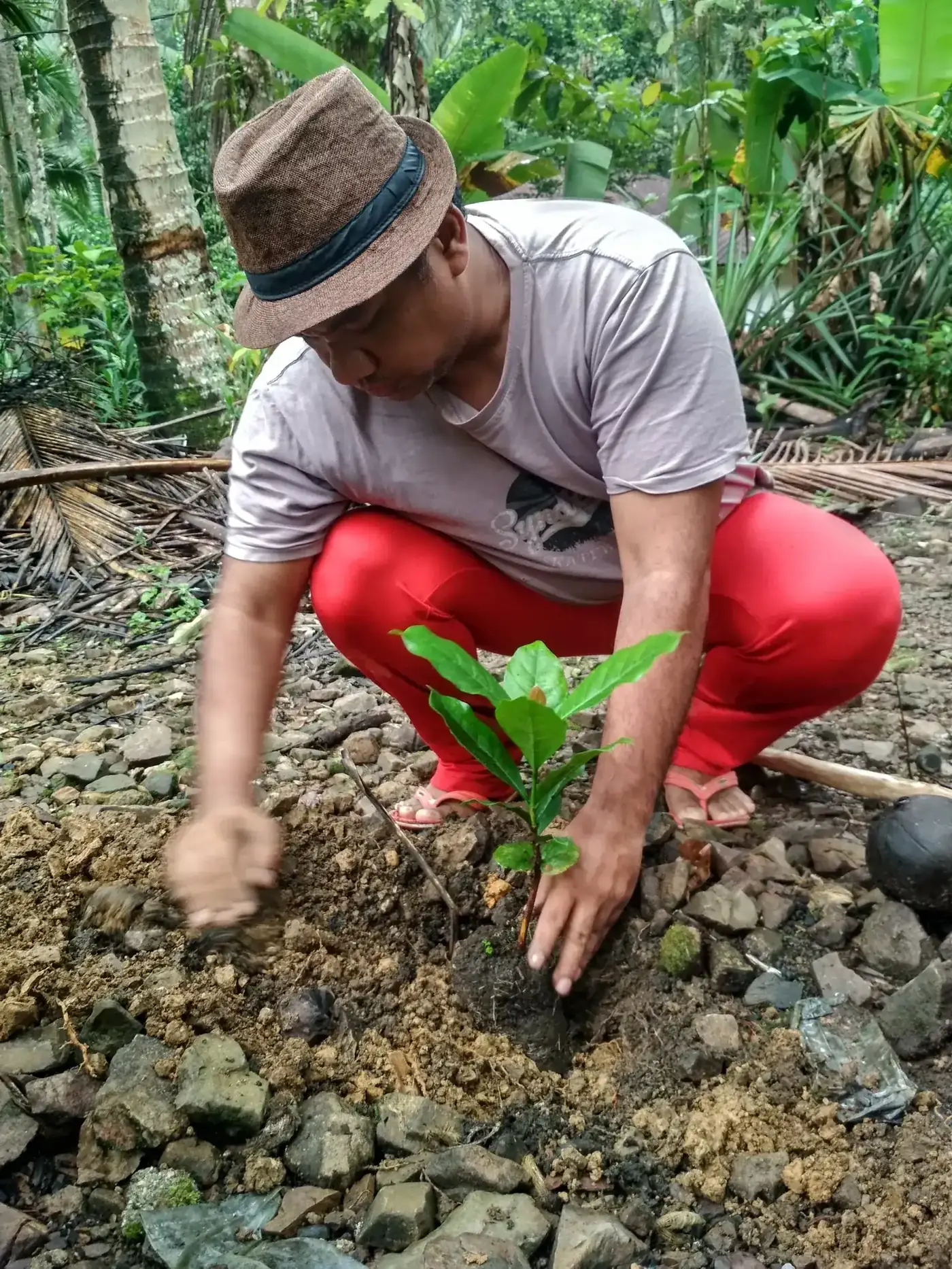
Restoration planting: assisted natural regeneration, local pioneers and enrichment.
Food forest, livestock or fish only in zones confirmed safe.
Stages per site
Months 0–3: feasibility
Screening, detailed survey, joint design and benefit agreement. The answer may be not to proceed.
Months 4–12: establishment
Soil, water and planting work in line with permits and seasons.
Months 13–36: support
Maintenance, a full seasonal review and design adjustments.
What we track
Ground cover and erosion points at fixed monitoring plots
Plant survival and natural regeneration
Water-system function and water quality
Maintenance cost and labour, and benefits received by residents
These are the things assessed during the programme, not verified results. Results are reported after delivery and checks.
Ways to collaborate
Mining or concession permit holders with restoration obligations.
Local and village governments for publicly owned critical land.
Universities for soil, hydrology and monitoring studies.
Planting 1,000 local trees on critical village or public land, such as erosion-prone slopes, spring recharge areas and riverbanks, then handing them to a local group to look after.
View initiative
Forests & land
Aceh, North Sumatra, Banten, West Java, Central Java, East Nusa Tenggara and East Kalimantan


 Forests & land